Snow Depths To Get The NASA Treatment
NASA is spearheading a multi-year, multi-agency effort to ascertain exactly how much snowthere is in the world.
The U.S. space agency’s SnowEx project has initially focused on two research areas in Colorado and California, trying to accurately measure how much snow cover there is at any one time and, essentially, how much water content that snow holds.
It is known that at its peak each winter snow covers around 31% of the earth’s land surface, but accurately measuring volume has proved much more problematic, especially as around half the snow covered area is ‘hidden’ by tree cover.
The SnowEx answer is to use a number of different measuring systems, including detecting radiation in different parts of the electromagnetic spectrum, from the visible to the microwave, to provide a solution.
Accurate water-content-of-snow data is seen as a ‘Holy Grail’ of global data collection due to the value of the water for agriculture around the world and also to record a key factor in climate change with more extensive snow cover seen as likely to slow global warming with heat reflected, whilst a smaller area with snow cover means more heat absorption.
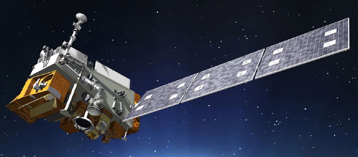
NASA’s aim is to study the effectiveness of the different measurement techniques being tested at the two research sites to design a future space mission which should accurately measure current snow cover and its water content in real time worldwide for the first time.
SnowEx is a multi-year airborne snow campaign.
The overarching question that SnowEx will address is: How much water is stored in Earth’s terrestrial snow-covered regions? We will investigate the distribution of snow-water equivalent (SWE) and the snow energy balance in different canopy types and densities and terrain. We will use a unique combination of sensors, including LiDAR, active and passive microwave, an imaging spectrometer and infrared sensors to determine the sensitivity and accuracy of different remote sensing techniques for measurement of SWE. Ground-based instruments, snow field measurements and modeling will all also be required to help address the science questions.
A large fraction of snow-covered lands are forested, however most remote sensing techniques have found forested areas challenging. But recent developments, like LiDAR, have opened up new possibilities. And even passive microwave has shown to have more promise in forested areas than previously thought. Since the SnowEx research community wants to fully understand the various techniques, focusing on the challenges presented by forests is the perfect opportunity to collect a unique dataset that will help address the science questions and enable snow mission design trade studies, which would otherwise be hard to justify.
SnowEx is a little different than the typical science-only field campaign—and that’s part of what makes it exciting!
SnowEx/year-1 Science Traceability Matrix (STM) is now available online.