Opensnow Is Tracking The Biggest Storm Of The Season So Far For Utah & The Rockies Tracking Three Atmospheric Rivers Set to Bring Significant Snow To PNW Over Next Week

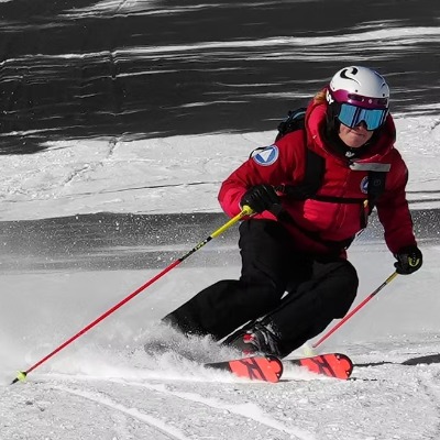
The biggest storm of the season so far is expected to bring significant snowfall to the Northern and Central Rockies, including Utah, Colorado, and the Tetons this weekend. According to OpenSnow, a trusted source for the most accurate U.S. weather forecasts, snow reports, and weather maps, the weather will arrive tonight, with precipitation intensifying later Friday into Friday night with the peak of the atmospheric river event. With snow showers expected to last into Sunday, this system is likely to bring 1-2 feet to high elevations of the Wasatch
“This weekend's storm is going to bring significant snowfall,” said Evan Thayer, OpenSnow forecaster. “Much of this snow will be medium-to-high density snow, which is great for base building and will go a long way toward getting more terrain open.”
The forecasted snow is great news for the Intermountain West and Northern Rockies, where snowpacks have been below normal. The upcoming storms will allow ski areas to open or expand their terrain as the busy holiday season approaches.
“Next week, the storm track will remain active for the Northern Rockies, but there are uncertainties with regard to how far south these storms will extend. Montana, Northern Idaho, and the Tetons should continue to have opportunities for snow, with lower confidence in Utah and Colorado,” continued Thayer.
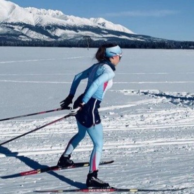
OpenSnow, a trusted source for the most accurate U.S. weather forecasts, snow reports, and weather maps, is also tracking three separate atmospheric rivers (AR) that are slated to bring a significant amount of moisture to Washington and the Pacific Northwest over the next week or more.
“The weather is active in the Pacific Northwest, with several storms tracking through Washington in the coming days,” said OpenSnow Pacific Northwest forecaster, Luke Stone. “Snow levels will fluctuate between the bases and mid-mountain through early next week, but a cold front on Friday night should bring some better accumulations and snow down to the bases.”
Stone reports that later next week, there are signs of a strong and cold storm moving into the west that could mean more snow for the mountains in Washington.
Skiers and snowboarders interested in chasing the snow throughout the season have new forecasting tools available to them with OpenSnow’s Premium subscription, including 15-day multiple model forecasts, global storm forecast maps, and AI-powered overviews to help skiers and riders get a quick description of the weather and expected skiing conditions.
New this year, OpenSnow also introduced PEAKS, a weather forecasting system that is up to 50% more accurate than standard forecasting models in mountainous terrain. Updated every 30-60 minutes as new model data is available, users can track precipitation, temperature, and wind forecasts that are adjusted based on each storm’s strength and trajectory. The system leverages OpenSnow’s proprietary forecasting formula to fine-tune 11 weather models used by their professional forecasters and more accurately predict weather conditions.
Learn more about OpenSnow’s Base and Premium subscriptions and how they can be shared by up to four people at OpenSnow.com and by downloading the OpenSnow app.
Since 2011, OpenSnow has been a trusted source for the most accurate U.S. weather forecasts, snow reports, and now, AI-powered severe weather maps. The platform pairs expert meteorology with advanced modeling to deliver clear, actionable insights for millions of everyday users and professionals who depend on precise weather information. Learn more and download the free OpenSnow App at opensnow.com.